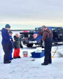
You are currently viewing Driving the Sunchild Road

Driving the Sunchild Road

Get the Brazeau and Beyond travel guide

* indicates required

The scenic route to Lake Louise

“It’s the scenic route to Lake Louise! Start your vacation in Drayton Valley!” 

“Wow Graham you are a one man billboard,” I jokingly said to my office colleague. 

I won’t tell you what he said back to me. 

Scenery and experience were some of the thoughts around the economic development table back when the Sunchild Road was first paved, and although it is still a little known road they were definitely on to something. 

The route to the Rockies via Lodgepole/Sunchild Road thru Nordegg is noticeably more scenic, and a nicer drive than any other route to the rockies.

Just 42 km after leaving Drayton Valley you have your first clear view of the Rocky Mountains, and the views just keep getting better from here. The road is hilly with multiple river crossings, with few convenience stores and no restaurants. This route is also a little easier on your pocketbook.    

For years Nordegg has been a nice place to pass by on our way to our “actual destination” like Lake Louise, or Banff. But since the Sunchild Road was paved some years back it has become part and parcel of a very scenic road trip to the mountain parks. Nordegg itself has also undergone a bit of a facelift, with a small pump track, a local makers market and coffee shop and a new subdivision.

Drayton Valley through to Nordegg via the Sunchild Road is approximately 178 km and takes two hours non-stop drive time, but we are road tripping it, so it’s nice to allow some time for a stop or two. 

To continue on to Lake Louise via the David Thompson Hwy, and then on to Hwy 93 is an additional 171 km, or two hrs and three minutes according to google maps. 

View of the Nordegg River, from the river bridge on the Sunchild Road

Drayton Valley to Hwy 11(David Thompson Hwy)

Kilometre 0 – 50th Street and 50th Ave Drayton Valley

Beginning in Drayton Valley you will take Hwy 620 (Lodgepole Hwy) heading west towards the Brazeau Dam. 

Kilometre 32.5 – Lodgepole

Likely your first stop would be Lodgepole. This is a small community with a playground situated right in the heart. If it seems too early to take a break, it is. But, depending on your passenger list I find even a leg stretch this early with kids is beneficial to settling in for a longer ride later in the day. 

Located in Lodgepole is a general store, a playground, and I did spy a food truck on the edge of town. If you are truly making a day of it. Then I would also recommend heading north out of town on TWP-753 to get a view of the Pembina River, or to dip a toe or two. 

Motorcyclists like to cruise through Lodgepole from TWP-753 on their way to the Brazeau Dam.

Kilometre 42 – a scenic view

Hwy-620 crests at this point and on a clear day the Rocky Mountains can be seen in their majesty. 

Kilometre 49 – Elk River Road

Your gateway to the Forestry Trunk Road and the back side of West Country. This is an industrial gravel road and blowing a tire is not an uncommon occurrence so be prepared. Out this way is the Elk River Campground, the Pembina Forks and Fairfax Lake. 

Kilometre 54 – a scenic view

Another high point on Hwy-620 with another gorgeous view to the Rockies in the west. 

Kilometer 57.4 – Brazeau Reservoir (Dam) and West Canal

During the summer months when the water has thawed and the level rises, the day use area would be a nice place to pull into for a picnic, to go fishing or splash around. The day use beach is mostly rock, but a walk up the beach is possible and along the banks you will happen upon pockets of sand. 

If you happen to be in the area in say…early spring, like the kids and I were this April, then the dam is not very interesting and I would encourage you to carry on a half a km to the West Canal road.

Kilometre 57.8 – West Canal Road

The West Canal Road is a gravel road that leads to the West Canal Provincial Campground. Along the road you will also see remnants of crown camping spots: pull outs with makeshift rock fire pits. Not far down the road is a land bridge that connects to an  “island” . This is a nice short walk with some expansive views. During the summer this may be a nice picnic spot. During July and August I’ve seen sandpipers running along the beaches of this island.

The West Canal is a fishing destination for some. I have seen some paddlers but there is a noticeable current. This place is not actively swum, however years ago taking scuba lessons I did some of my open water in the West Canal mainly because the current helped with visibility.

Continuing past the Dam you are now officially on the Sunchild Road. The road is named for the O’Chiese and Sunchild First Nations living in the area and as I said it is scenic. With rolling hills, streams, and wild horses, it is a very pleasant drive. 

This is not a developed “tourist” route. There are no pullouts, kiosks, hiking trails or pit toilets, when you stop on this road you are here to appreciate the beauty of the surroundings. 

Gravel road view to the Rocky Mountains, west of the Sunchild Road

Kilometre 73 – O’Chiese Truck stop and O’Chiese First Nations

The O’Chiese truck stop is located on the edge of the O’Chiese first nations reserve. Here, you can get your typical conveniences and fishing supplies and bait.  

Kilometre 79 – Nordegg River 

Driving along, the Sunchild Road takes a dip into the valley of the Nordegg River. Across the bridge there are rough roads on both sides of the highway that will take you down to the river. The river is fished by anglers, with the most common species include; Northern Pike, Cutthroat Trout and Walleye.  

Even if you are not an angler this may be a place to stop on a hot sunny day to stretch your legs. 

Kilometre 103 – Sunchild First Nations and gas station

Located along the southern half of the Sunchild Road is Brewster Creek, the Sunchild First Nations and a little convenience store. This store is your last stop to get some refreshments on your way to Nordegg. 

Kilometre 109 – Baptiste River

The Baptiste River is a shallow river that can be fished. There aren’t any pullover spots but it is worth a slowdown and a rubber neck. 

Kilometre 124 – Hwy 11 junction to Rocky Mountain House or Nordegg

The full stretch of the Sunchild road is mile marked and totals 65 km. With a network of lease roads, and streams with a little curiosity and adventure there are some very rugged spots to be found among the crown land to the west. As for making this route your go on the way to Nordegg. There are a few benefits; it is 20 km shorter, it is scenic, and for now it is quiet, with little chance of getting stuck behind an RV trailer.  

Once on Hwy-11 to Nordegg, there are multiple stops, pull outs, fishing haunts and hiking trails. 

The Sunchild Road is a more relaxed way to get to mountains. The pace is slower and, using this route your vacation begins as soon as you leave town. 

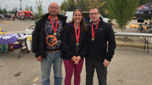
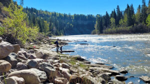
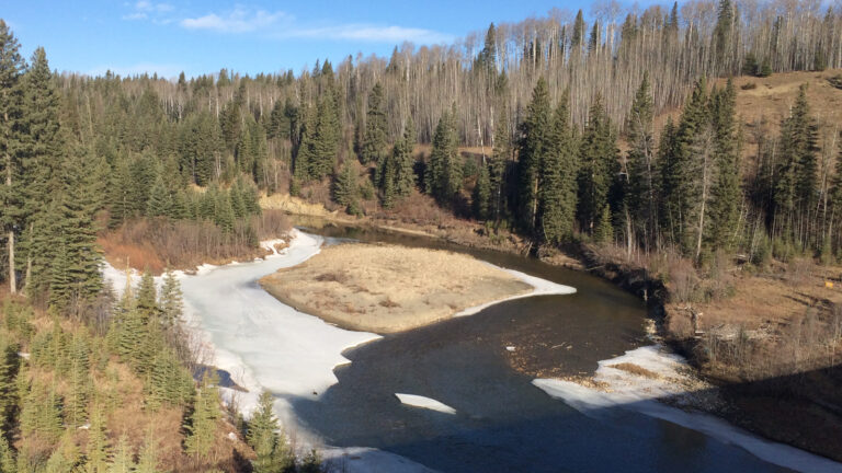
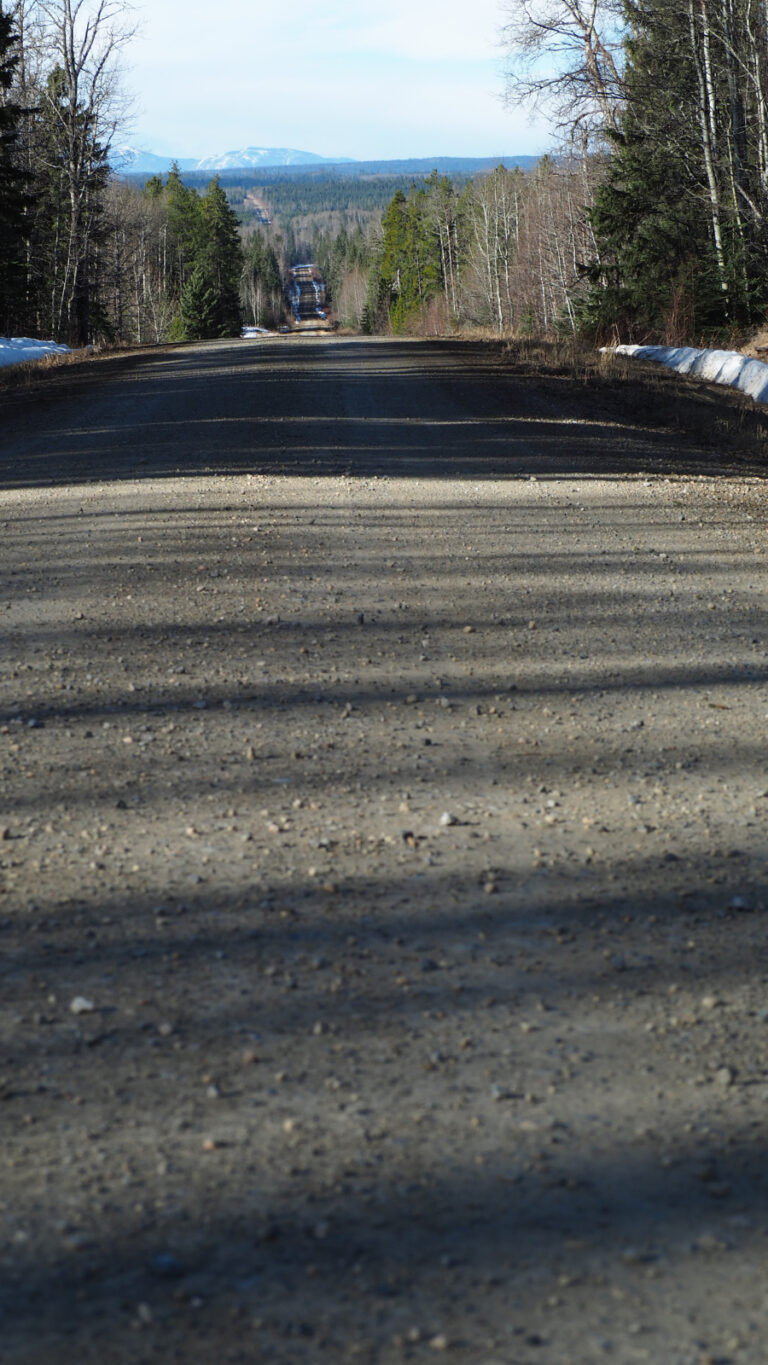
Try these DV100 training routes

Just beyond the western borders of Drayton Valley is a series of township roads and secondary highways that creates an amazing training ground for anyone looking to tackle the DV100, DV60 or the DV40, this September.
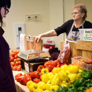
Read More »

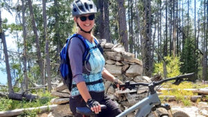
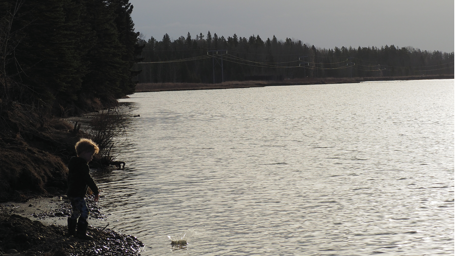
Tips for beginner mountain bikers

Rocks, berms, extreme pitches, however you slice it, mountain biking is not for the faint of heart. But with a little can-do attitude and grit it can become a fun pastime during any age or stage of life. This summer Rae and Bell decided that they wanted to try something new. Although they were no strangers to road cycling, the purchase of a e-mountain bike got them off the asphalt onto the trail.

Read More »

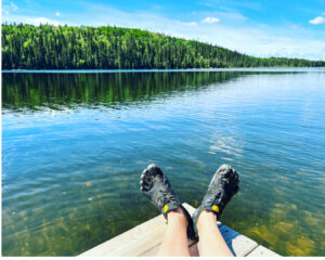
Three trips for your winter wonder list

Snowshoeing is a fun way to get outside, stretch your legs and add a little interest to your snowy winter walks. With the Eagle Point Provincial Park and Provincial Recreation area right on our doorstep there are endless places to explore by snowshoe. But for those of you who are just getting started here are three of my favourite places to get you going.

Read More »

The rugged and refined in Alder Flats

So I have been telling you to explore your backyard and check out places like Evansburg, Breton and Eagle Point Provincial Park. But what about Alder Flats? What the heck is there to do in Alder Flats? To answer this question I have visited Alder Flats five times since July to have a new experience, discover a new place and give you guys some actionable ideas.

Read More »