With a robust network of industrial grade gravel roads grinding it out on the gravel is never far from home. While we will leave the exploration of individual township roads and range roads up to you we have outlined two intermediate to advanced routes that can be explored in a day or as an extended bike packing excursion.
Lodgepole to Pembina forks via Elk River Road
Cycling the Elk River Road is definitely an adventure worth a Backyard Bucket List tick.
The Elk River Road is an industrial road used for logging trucks and oil and gas operations in the area. It can be very dusty and visibility can be an issue. Make sure you are highly visible and share the road with industry in the area. The road rises and falls as it heads west, and is mostly bordered by trees. This gravel grinder can be an introductory trip to gravel bikepacking or you can use this as the gateway to the Forestry Trunk Road on route to either Nordegg or Hinton.
Getting there:
First leg: Lodgepole to the Elk River Campground, 63.9 km approximately 3 hrs and 23 minutes.
Second leg: Elk River Campground to Pembina Forks Campground, 33.1 km approximately 1 hr and 52 minutes
This is a ride out to the edges of the west country and so it is recommended that you are familiar with bike packing and are well equipped before heading out.
Points of Interest:
- Brazeau Dam
- Brazeau East Canal
Brazeau West Canal
Located 50 minutes west of Drayton Valley, on the very edge of our bucket list and just beyond the community of Lodgepole you will find
Brazeau Reservoir Provincial Recreation Area
Water Activity The Brazeau Reservoir is located 43 minutes west of Drayton Valley and is closest to the community of Lodgepole. The dam is a
Buck Creek to Alder Flats
Did you know that before Hwy 22 was built there was a gravel route connecting Drayton Valley and Alder Flats via Buck Creek? Now part of this route from Drayton Valley to Buck Creek is paved but this route soon turns into a secluded gravel grinder that puts you in the heart of the bush that defined Alder Flats early logging industry.
Getting there:
This route takes approximately 1 hr and 12 minutes one way, with a winding road, thick forests and a creek crossing. Taking off from Buck Creek. Ride to the junction of Twp 480, and head west. This road turns into RR72 and you follow this all the way to Alder Flats.
Distance: 23.6 km one-way
What you need:
Portions of this route are very secluded so pack everything you will need to fix a flat and be self sustained.
Bear spray
Points of Interest:
- Rose Creek OHV Trails
- Buck Lake
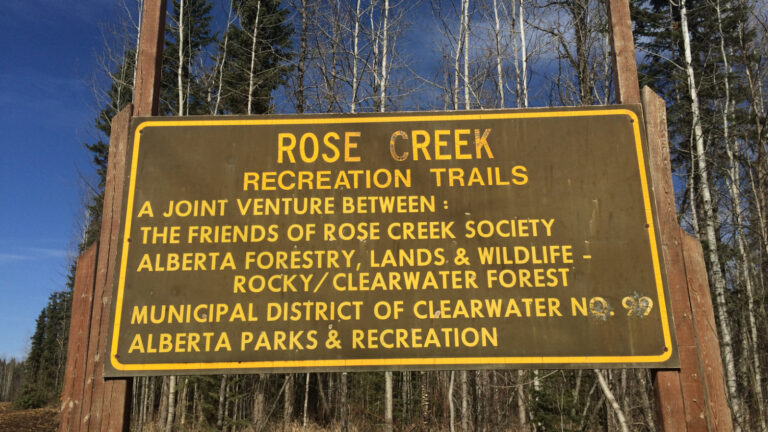
Rose Creek Trails | Alder Flats
Initially developed as a nordic skiing trail system the Rose Creek Trails just west of the community Alder Flats is now an OHV hidden gem
Buck Lake
Buck Lake is located 33 min South of Drayton Valley. The closest access to amenities are in the communities of Buck Lake and Alder Flats.


